Nature Preserve Area
1
County
Kane
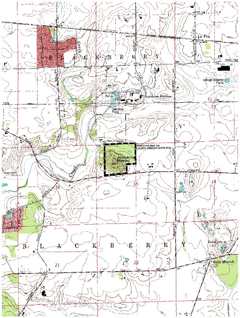
Location And Access
At the jct. of Randall Road and Fabyan Pkwy. in Batavia, head west on Fabyan Pkwy. For approx. 2.25 mil. to Hughes Rd. Right on Hughes for 2.33 mi. to the entrance to Johnson's Mound on the north side of the road. Special Note: A paved roadway loops around the kame and picnic areas are provided.
Description
Johnson's Mound represents an outstanding example of a glacial kame which supports dry-mesic and mesic upland forest. It is classified as a till kame which formed during active glaciation rather than an outwash kame which formed ruing glacial stagnation. The kame is generally conical with slopes of 10-20%, occasionally undulating with shallow ravines and secondary knolls. This fairly well drained kame is dominated by sugar maples on all slopes growing with white ash, slippery elm and basswood. White and bur oaks contribute minimally to the canopy on the west and southwestern slopes. Understory trees and shrubs such as ironwood, blue ash, hazelnut and gooseberry grow throughout the forest. A rich understory of woodland forbs, such as shooting stars and violet wood sorrel, populate the canopy openings on the western slopes, while dutchmans breeches, declined and large white trillium, Short's aster and blue cohosh grow throughout the kame. Poorly drained depressions are found at the base of the northern slope. A small, spring fed fen occupies one of these depressions with remnant populations of tussock sedge, bottle gentian, swamp milkweed and other characteristic forbs. The remainder of the preserve is buffer and consists of successional old fields and old tree plantations.
Ownership
Forest Preserve District of Kane County
Dedicated
March 1992
Size
185 acres
Topographic Quad
Sugar Grove
Topo Map
For Further Information
Contact: The Forest Preserve District of Kane County, 719 Batavia Rd, Geneva, IL 60134 (708/232-5080)