Nature Preserve Area
9
County
Jackson
Location And Access
From Hwy. 4 at northwest end of Campbell Hill, take blacktop road west 3.8 miles, then turn and go north 0.7 mile to Shiloh Hill, then continue south 1.8 miles to West Point Church Cemetery. The nature preserve is 0.4 mile west of the road.
Description
Piney Creek Ravine is 111 acres of forest, stream and sandstone habitat of the Central Section of the Ozark Natural Division. This area was glaciated during the Illinoisan stage of the Pleistocene glaciation. When the glaciers retreated, windblown loess covered the glacial till and meltwaters carved through sandstone, creating Piney Creek Ravine. The dry upland forest on rocky slopes and canyon bluff tops are, for the most part, undisturbed and contain the most notable features. Within the post oak-black oak forest, scattered xeric forest/sandstone glade communities exist. The exposed rock and thin soil conditions are ideal for shortleaf pine, farkleberry, lowbush blueberry and sedge species.
Ownership
Illinois Department of Natural Resources
Dedicated
June 1978
Size
195 acres with buffer
Topographic Quad
Welge
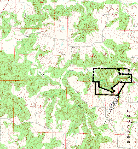
Topo Map
For Further Information
Site Superintendent, Randolph County Conservation Area, Route 1, Box 345, Chester, IL 62233 (618/826-2706)