Nature Preserve Area
9
County
Pulaski
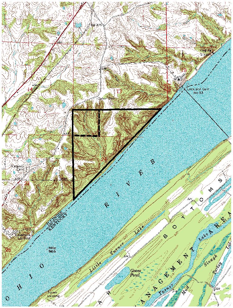
Location And Access
From Grand Chain, take Hwy. 37 southeast 3.1 miles to gravel road, then turn and go southeast 1.1 miles. The nature preserve is southeast of the road. Special Note: This preserve is surrounded by private land and public access is difficult. Visitors should contact the Natural Heritage Biologist before entering the preserve.
Description
Chestnut Hills contains 212 acres of forest, stream, ravines, and river bluff communities of the Cretaceous Hills Section of the Coastal Plain Natural Division. Historically, this area supported one of the few native American chestnut stands - thus the name Chestnut Hills. Since that time, the population has been eliminated by the chestnut blight. Significant features of the preserve include outstanding geological exposures of the Owl Creek Formation, Clayton Formation, and the McNairy Formation (a Cretaceous period formation); a rare eroding river bluff community; and several rare plants and animals such as silverbells, dusky salamander and wintering bald eagles. Much of the notable mesic upland forest is located on narrow ridges, steep slopes and ravines. The community is dominated by beech, red oak and sugar maple.
Ownership
Illinois Department of Natural Resources
Dedicated
August 1975
Size
212 acres with an additional 15 acres of buffer
Topographic Quad
Olmsted
Topo Map
For Further Information
Illinois Department of Natural Resources, Natural Heritage Biologist, 0139 Rustic Campus Drive, Ullin, Il 62992 (618/634-2545)