Shoreline Management Working Group
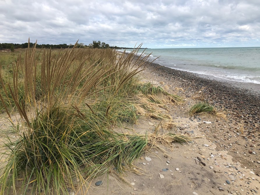
 Illinois’ shoreline is dynamic. Fluctuating lake levels, storms, and erosion combine to create an ever-changing Lake Michigan coastal system. Human interventions add to the system’s complexity with the addition of hardened shore protection structures. In recent years, we have witnessed rapid and costly shoreline change in the region; Lake Michigan set its record low water level in 2013, and since it has swiftly and consistently risen, reaching record high levels in 2020. During this time, communities have witnessed the erosion of key infrastructure and stretches of critical habitat, along with the loss of park space, beaches, and public access points.
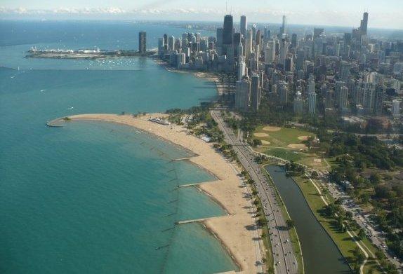
While some areas are losing shoreline, others are accumulating sand which can clog ports and harbors and impact navigation.
Our communities recognize that addressing these issues and protecting Illinois’ shoreline requires regional collaboration and innovation. To lead this regional effort, the IDNR Coastal Management Program (CMP) coordinates the Illinois Shoreline Management Working Group (SMWG). The SMWG is an informal network of local, state, and federal leaders and land managers engaged in regional collaboration to address shoreline change and management on public lands along Illinois’ Lake Michigan coast.
In 2015, CMP provided funding for the facilitation of an 18-month Illinois Sand Management Strategy Project. This project set the blueprint for improved regional collaboration between local, state, and federal leaders and managers invested in public lands along the northern portion of Illinois’ Lake Michigan Coast. Through this project, more than 40 participants came together in an informal network – the Shoreline Management Working Group – to pilot cost-effective sand management strategies, address policy and permitting challenges, apply the best available science to decision-making, and engage local communities.
Since 2015, the network has grown to more than 100 participants representing around 50 local, state, and federal agency departments and organizations, and the geographic scope has expanded to include Illinois’ coastal communities from Wisconsin to the city of Chicago. Participants include public shoreline landowners, non-profit agencies that own portions of the shoreline, local staff and officials from municipalities, park districts, port districts, researchers who study coastal processes and sediment dynamics, representatives from federal and state regulatory agencies, and elected officials at the federal, state, and local levels and their representatives.
CMP facilitates the SMWG, including convening biannual meetings and serving as a central node for coordinating projects and sharing resources amongst the participants.
The SMWG is engaged in regional collaboration to address shoreline change through a variety of projects and initiatives, often led by smaller, focused teams. These teams focus on policy, permitting, research and data, and demonstration and pilot projects.

The SMWG engages its elected officials and representatives to provide guidance on policy issues pertinent to sand and shoreline management, in addition to helping the Group understand constituent concerns and opportunities for outreach and engagement. So far, this work has involved working with local elected officials to:
- Continue to build a connection between community concerns and public leaders and land managers;
- Organize a water quality themed public forum focused on how government agencies and nonprofits are protecting Lake Michigan water quality;
- Organize a shoreline change themed public forum focused on the science behind how and why the shoreline is changing, as well as some government programs and projects in the area that address shoreline change; and
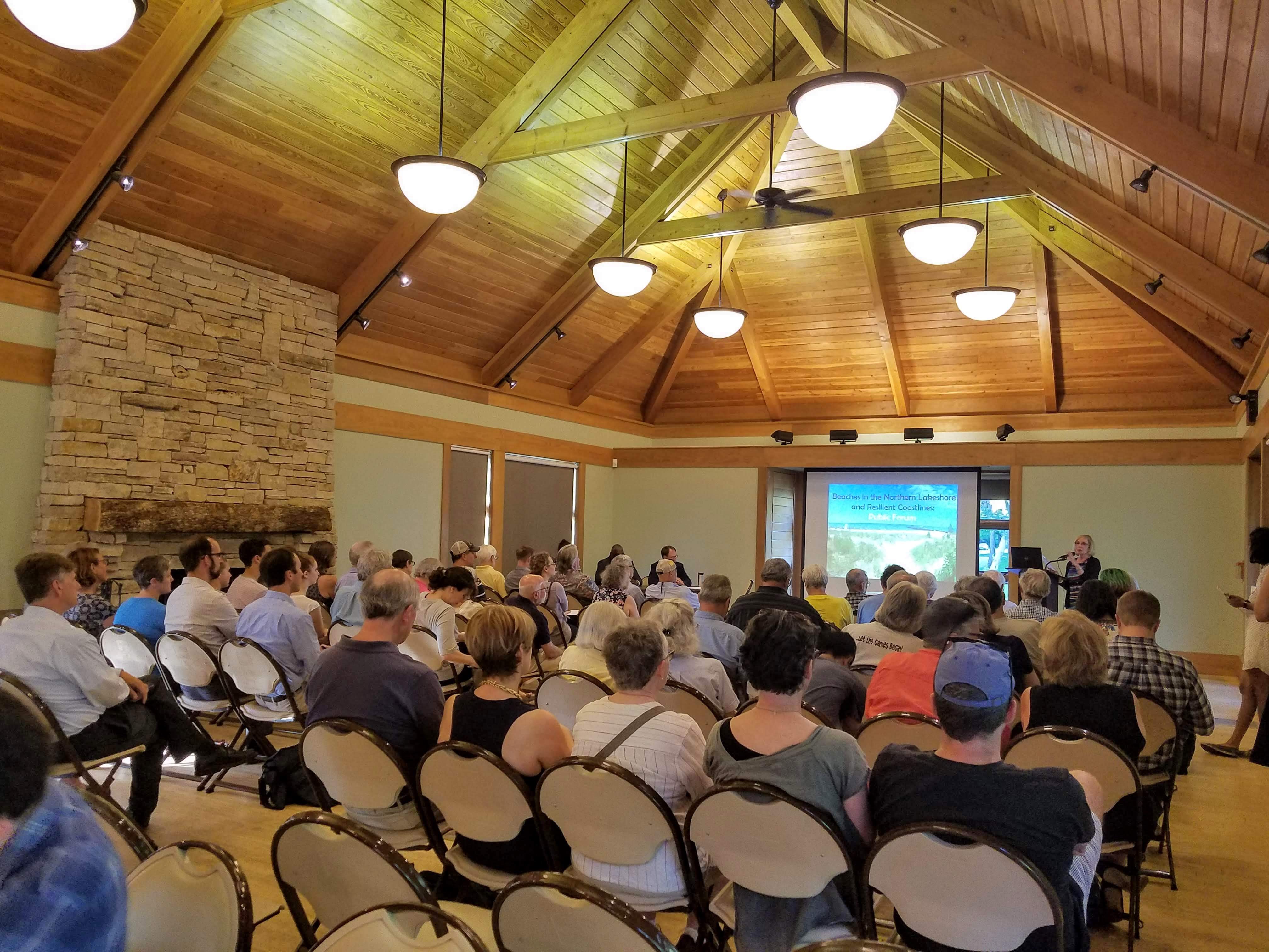
- Organize a Lake Michigan shoreline-focused public forum, to discuss new efforts to manage the impacts of coastal erosion due to rising water levels and the restoration of public beaches.
Permitting Team

The SMWG engages its regulatory agency staff participants to provide guidance on the sand management permitting policies and regulations and to develop informational materials for permit applicants as well as recommendations to improve the joint permitting process. So far, this work has involved:
- Creating outreach pieces such as a video and detailed timeline infographic explaining the permitting process for lakefront projects and its timeline; (NOTE: The timeline infographic was last updated in August 2019; while it is a useful guide, please also check the relevant regulatory agency websites for the latest updates on processing timelines)
- A Permitting Guidance Document for development along the Lake Michigan Shoreline;
- Continuing to build strong partnerships between communities and permitting agency staff and leadership; and
- Supporting a complementary study by the National Sea Grant Law Center that explores Lake Michigan shoreline policies.
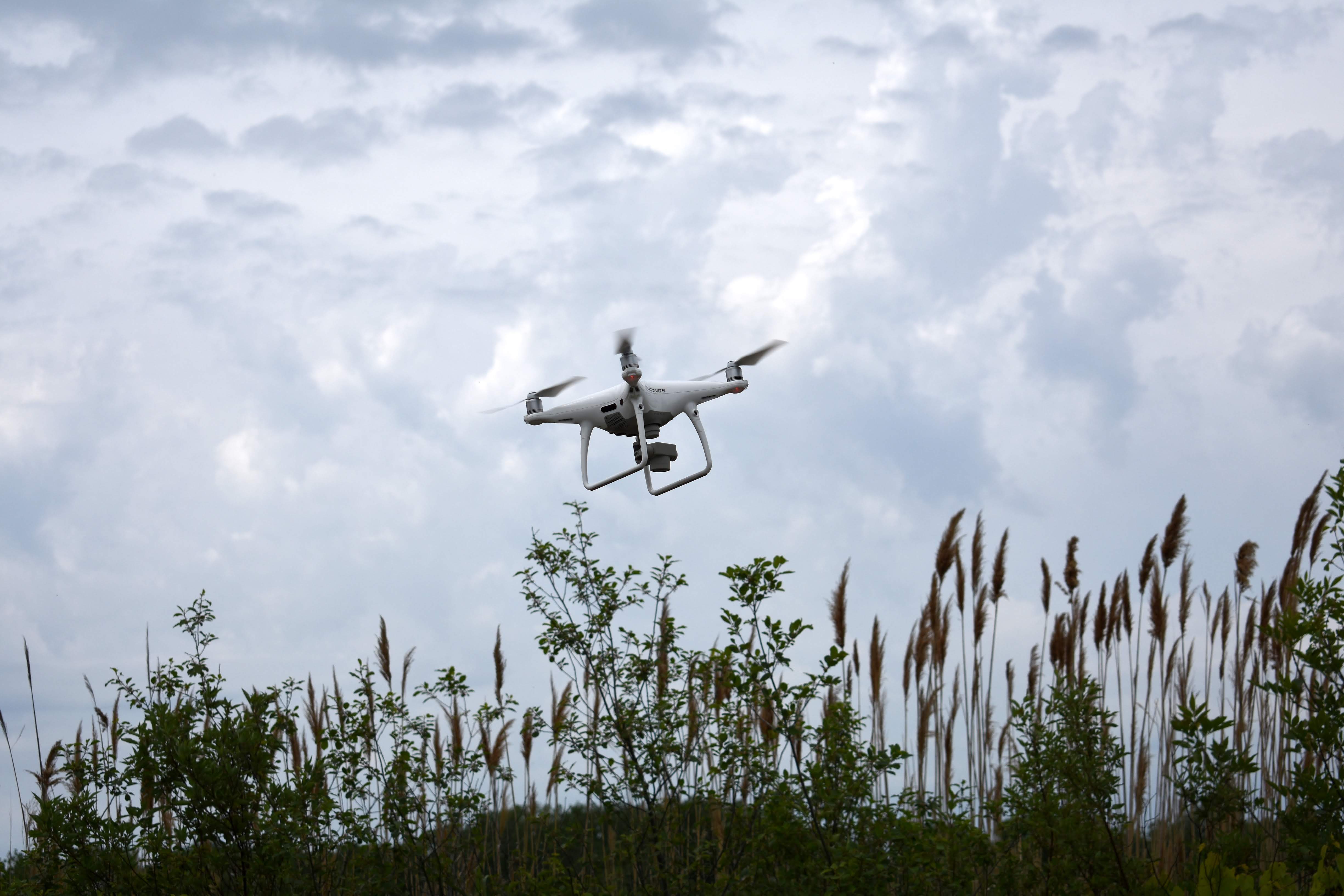
The SMWG draws from the expertise of the Illinois State Geological Survey (ISGS) of the Prairie Research Institute at the University of Illinois at Urbana-Champaign. Work conducted by ISGS helps improve our understanding of coastal change through solution-focused monitoring and research. The ISGS Great Lakes Coastal Geology Research Group conducts process-oriented coastal geology studies using drones, research vessels, and remote sensing devices to explore the dynamic drivers of coastal change. Through this partnership, we are turning cutting-edge science into the foundation for decision-making.

So far, this work has included:
- Monitoring coastal topography and bathymetry along study sites at Illinois Beach State Park (IBSP) and Openlands Lakeshore Preserve to better understand how the shoreline responds to fluctuating lake levels, storms, and winter ice cover;
- Assessing shoreline change between Winthrop Harbor and Waukegan, IL, over the past 8 decades in the context of weather data and working with local land managers to bring that information into the management process;
- Funding and deploying two buoys at Winthrop Harbor and Waukegan to collect nearshore wave and current measurements;
- Studying the impacts of winter shore ice's impact on sediment transportation at IBSP.
- Developing the foundation for a habitat vulnerability index to support decision-making taking into consideration habitat value, ecosystem services, and response of coastal habitats to hydrodynamic processes; and
- Building relationships with Wisconsin coastal managers to share data, research, and strategies.
Demonstration and Pilot Projects Team
This team is working together to create the blueprint for cost-effective, regional sand management over the long-term. They are also working on developing best management practices by studying existing on the ground projects and leveraging emerging Great Lakes science on coastal processes. The team is currently involved in the following pilot projects:
-Beneficial Reuse Pilot Project-
The 2016 Water Resources Development Act (WRDA), a national law, directs the US Army Corps of Engineers (USACE) to identify ten pilot projects for the beneficial use of material removed from regular maintenance of federally-authorized ports, harbors, and navigation channels. This reflects a growing national interest in using clean dredged material, such as lake sand, in a more sustainable and cost-effective manner.
Four Illinois coastal communities – City of Evanston, Glencoe Park District, Lake Bluff Park District, and Foss Park District of North Chicago – developed one of the selected pilot projects – the only one in the Great Lakes region. In partnership with USACE, Chicago District, the communities will protect 55,000 yards of public parks and beaches from shoreline loss caused by high water levels using dredged material from Waukegan Harbor. The pilot program is projected to have a budget of $10 million, and most project costs will be covered by the USACE. This assistance will maintain important public lakefront in a cost-effective way. The planning phase for the project has begun.
Explore the following links for more details:
-Healthy Port Futures Pilot Project-
Healthy Port Futures, in partnership with IDNR and ACE-Chicago District, will design and implement a pilot project at Illinois Beach State Park that will test alternative coastal infrastructure aimed at reducing nearshore habitat loss in a selected impacted area. This project positions itself between expensive, intensive capital projects like armoring and breakwaters, and softer, less expensive, but more maintenance-intensive projects like beach nourishment. This hybrid quality allows it to potentially work in concert with those other approaches or alone, thereby expanding the range of possible approaches. Healthy Port Futures developed these ideas through physical modeling, and later refined the design specifics with computational modeling through the collaboration with partner engineering firm, Anchor QEA. To learn more, visit the project website.
Shoreline Management Funding Opportunities
IDNR Coastal Grants provide funding for projects that protect, preserve, and restore the natural and cultural resources along the Illinois Lake Michigan shoreline.
The National Coastal Resilience Fund restores, increases and strengthens natural infrastructure to protect coastal communities while also enhancing habitats for fish and wildlife. Established in 2018, the National Coastal Resilience Fund invests in conservation projects that restore or expand natural features such as wetlands, dune and beach systems, forests, coastal rivers and floodplains, and barrier islands that minimize the impacts of storms and other naturally occurring events on nearby communities.
FEMA pre-disaster mitigation program: Building Resilient Infrastructure and Communities (BRIC) is a new FEMA pre-disaster hazard mitigation program that replaces the existing Pre-Disaster Mitigation (PDM) program. BRIC will support states, local communities, tribes and territories, as they undertake hazard mitigation projects reducing the risks they face from disasters and natural hazards. BRIC aims to categorically shift the federal focus away from reactive disaster spending and toward research-supported, proactive investment in community resilience. The program's guiding principles are supporting communities through capability- and capacity-building; encouraging and enabling innovation; promoting partnerships; enabling large projects; maintaining flexibility; and providing consistency. The program's first Notice of Funding Opportunity (NOFO) is expected to arrive late summer 2020, with the grant application period opening during fall 2020.
For a list of currently open funding opportunities, check out the funding opportunities section of our monthly newsletter.


